
The tricky issue of resolution
Raster data : a single land use per pixel, even tough several are present in the actual cell :
The interactions between surface flow and sewer systems are privileged over the natural river network. | 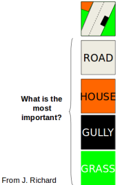 |
Raster data : a single land use per pixel, even tough several are present in the actual cell :
The interactions between surface flow and sewer systems are privileged over the natural river network. | |


